Locates, GPS survey and drawing service
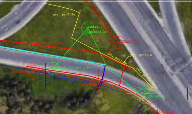
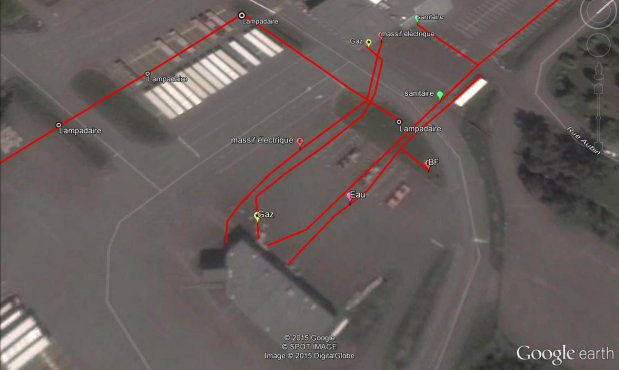
Upon request, underground utilities that have been detected and marked on a site can be surveyed by GPS, mapped and added to a base plan provided by the customer or simply mapped to GoogleEarth.
All file formats can be supported, dwg, dxf, kml ...
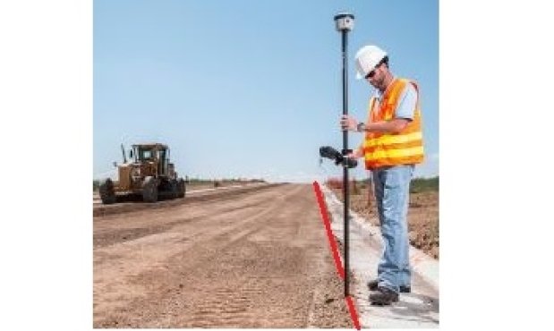
GPS surveys are done by the same technicians who located the utilities. This eliminates the risk that some underground utilities may be missed by a third party surveyor who would visit the site the next day or a few days after the locations have been completed.

- Fast service, even for distant deployments
- Qualified technicians
- Professional work
- On site marking
- Geo-referencing with precision GPS
- Mapping and drawing
Our Industries:
For a quote request, call us
Montréal 514 993-1254
Québec 418 262-1263