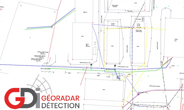
Locating and georeferencing of underground utilities
We have the survey instruments and the expertise to do field surveys and produce georeferenced drawing in the Canada / NAD 1983 coordinate system.
The elevations of the inverts of the sanitary and storm drainage networks can also be noted and indicated on the drawing.
In the event that deadlines are tight, our teams can be deployed quickly and a final drawing can be produced within 24 to 48 hours.